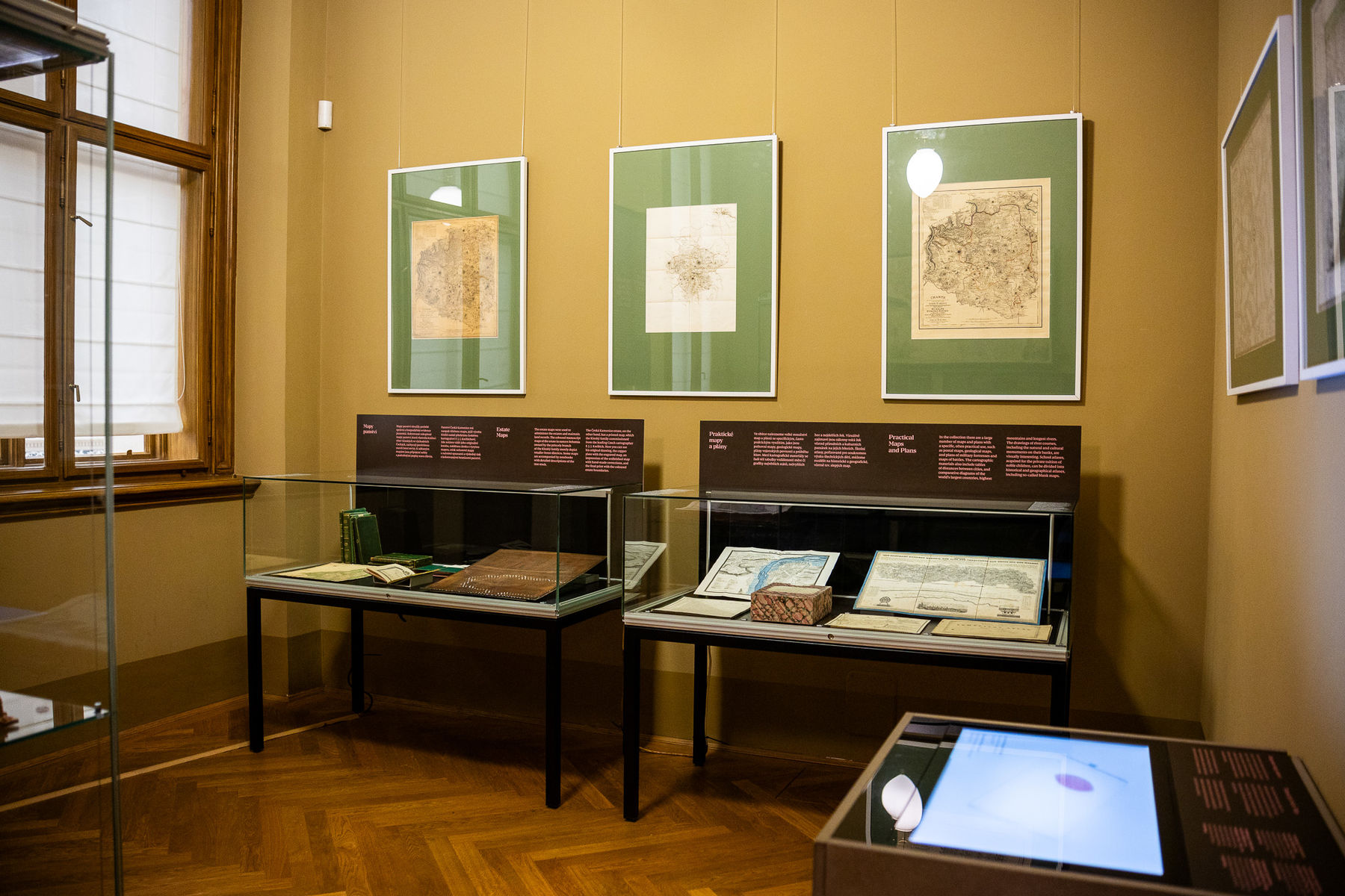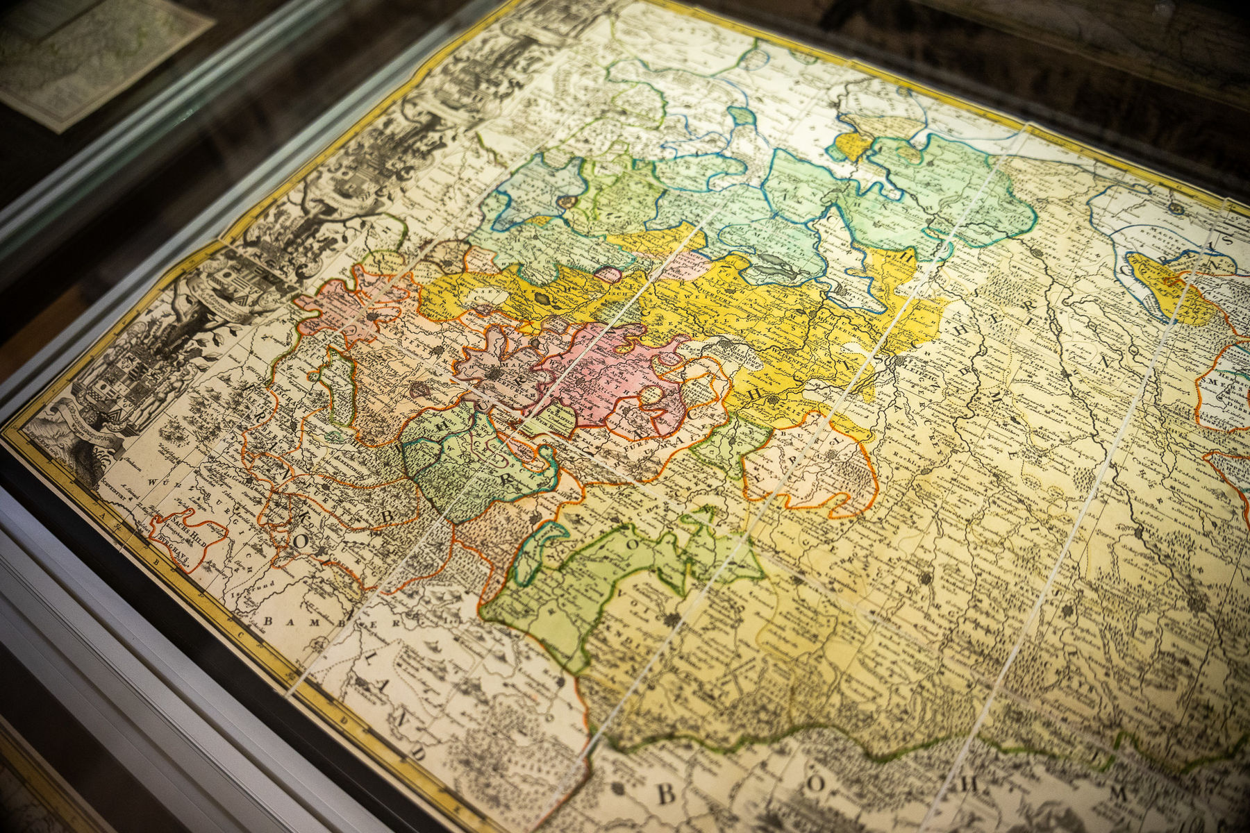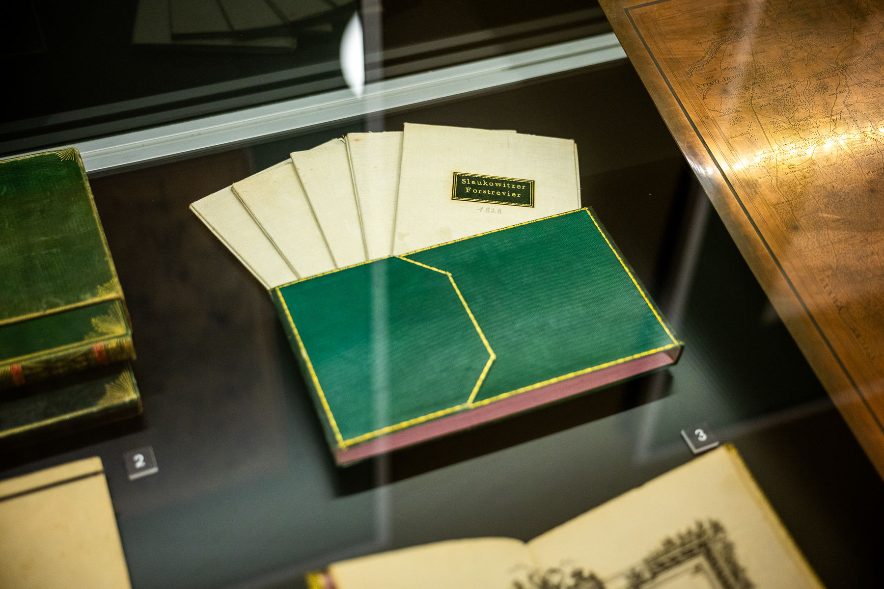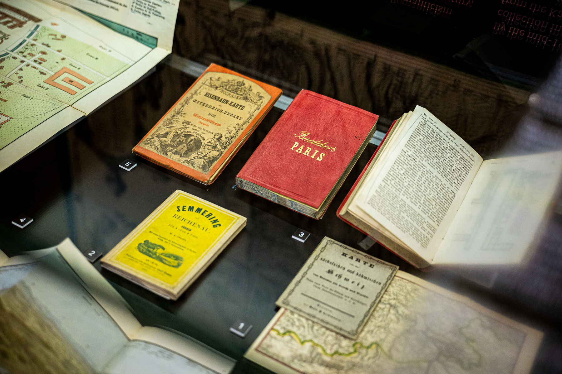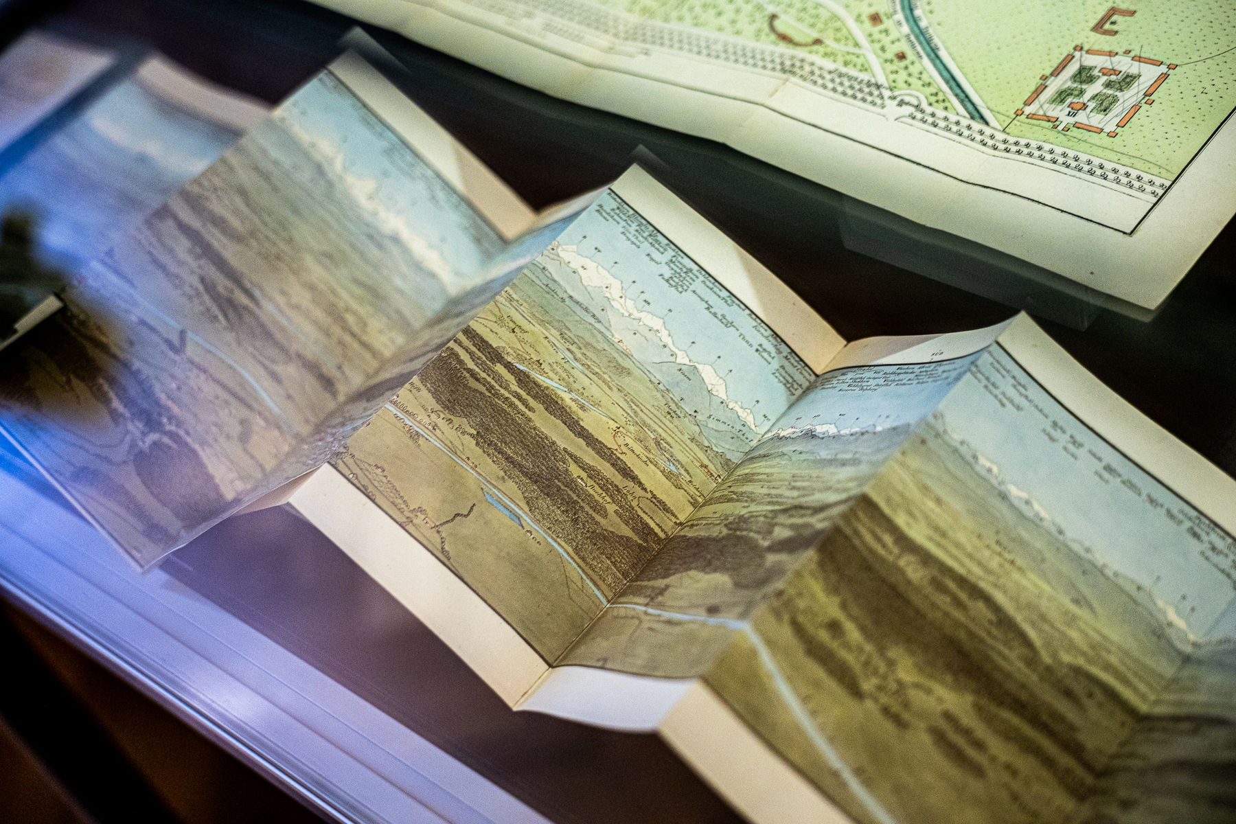

The exhibition showcases unique colored estate maps from the first half of the 19th century, as well as their entire digital collection. A highlight is the map of the Česká Kamenice estate by cartographer F. J. J. Kreibich, where you can see the complete process of creation, from the initial sketch to the print from a copper plate. The exhibition also maps the birth of tourism, documented by one of the oldest travel guides to Saxon-Bohemian Switzerland (ca. 1810) or a period plan of the Vienna World's Fair with notes by the owners. The conclusion belongs to practical maps – from postal and geological maps to plans of fortresses and battles.
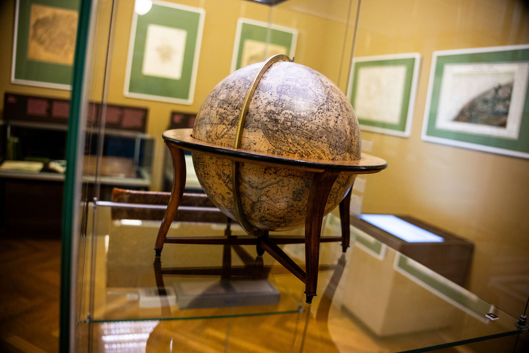
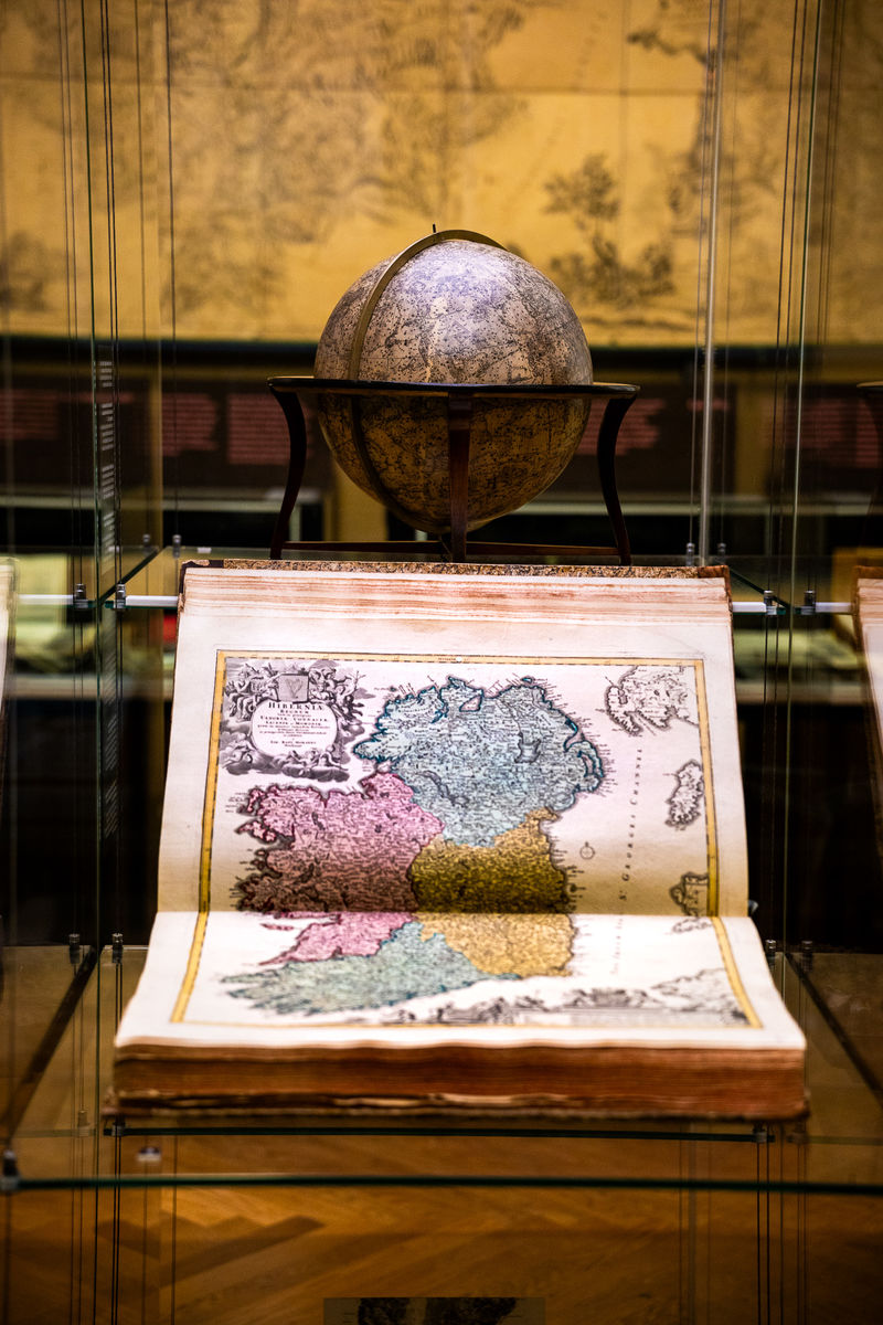
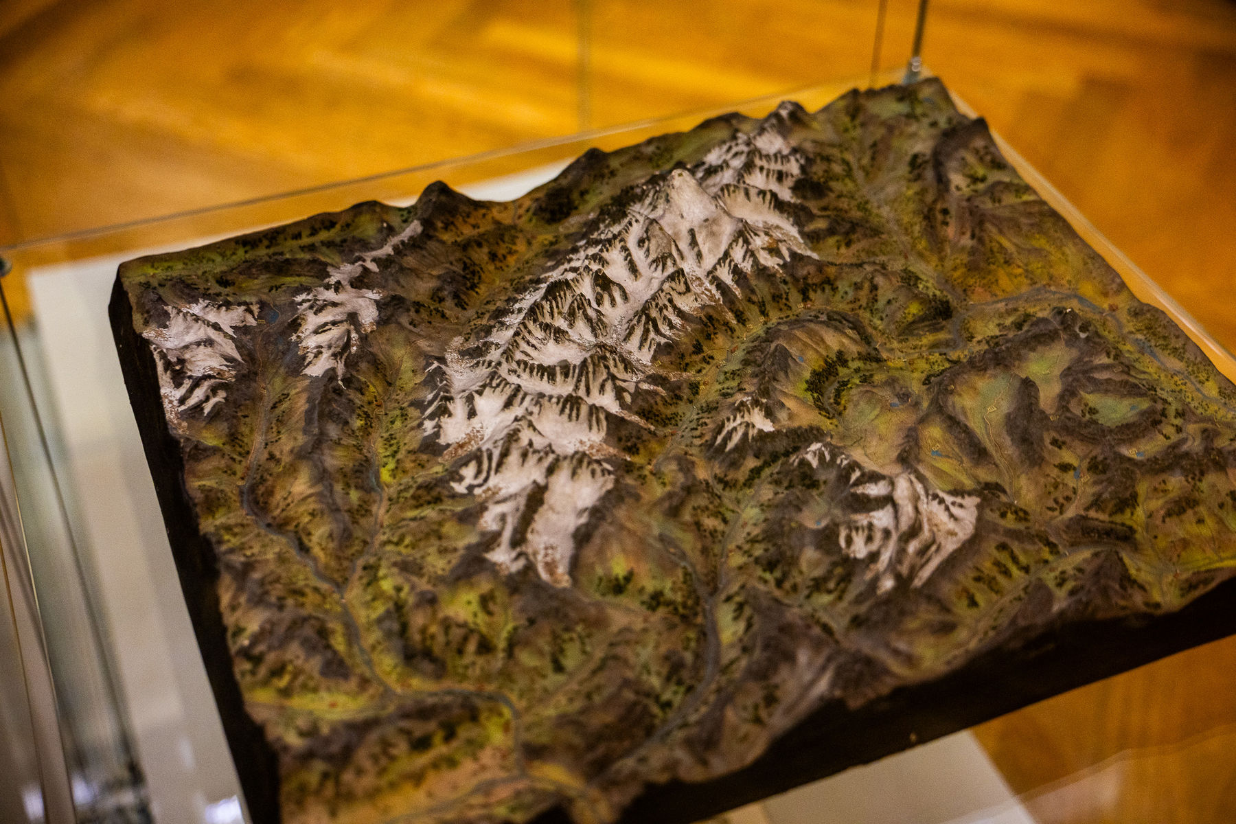
The exhibition is complemented by a celestial globe of Prague provenance from 1824 and a plaster model of the Mont Blanc mountain massif. An unmissable exhibit is a map of Tyrol (225 × 120 cm), which served both for hanging and, in its folded form, was easily transportable. The Kinsky Library was established through a one-time purchase in 1805 at the instigation of Prince Ferdinand Kinsky, after the Kinsky family donated their old family library to the newly founded National Library in 1777. It was supplemented and used until the beginning of the 20th century.